FlyerView Group
Transforms aerial/GIS data into polished maps, visuals, and interactive story maps.
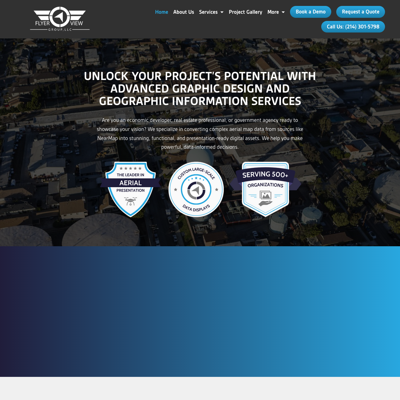
FlyerView Group provides advanced graphic design and geographic information services that transform complex aerial and GIS data into clear, compelling, presentation-ready digital assets. Serving economic developers, real estate professionals, and government agencies nationwide, the team helps clients visualize sites and initiatives, communicate opportunities, and support data-informed decision-making. Their capabilities include converting sources such as NearMap into polished maps and visuals, producing interactive “always-current” GIS deliverables through a permanent online link, and building web-based story maps that guide audiences through a narrative with clarity. FlyerView Group’s work is designed to be both accurate and persuasive, elevating everything from early concept visualization to stakeholder presentations and large-scale public displays. By combining technical data transformation with strong visual communication, they help projects stand out and move forward with confidence.